Entrances
-
Id letter: ''
93
Edit this entrance
- Marking
- Tag
- Marking Comment
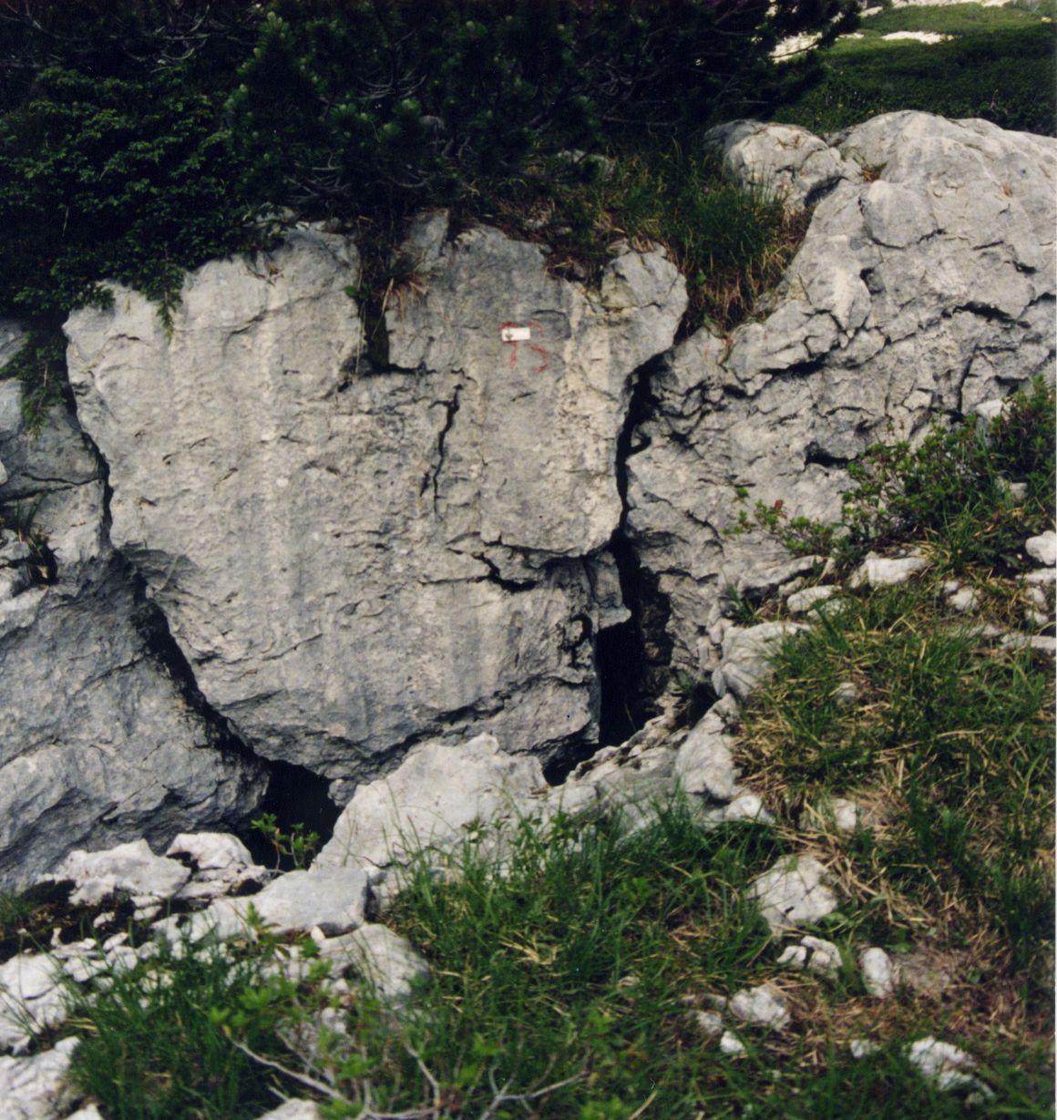
- numbered in red (1977) on scarp facing south, 1998 tag "1623 93 CUCC 1977".(placed in middle of "9")
- Findability
- Coordinates
- Location
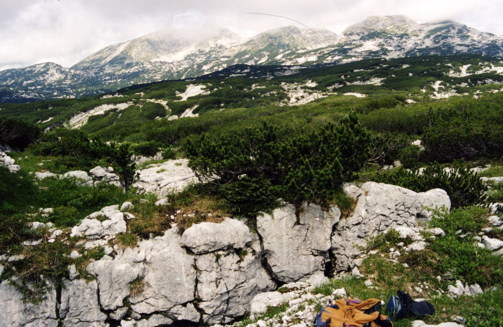
- Plateau - below Bräuning Scharte, north of Kataster 91.
- Approach
- From Schwarzmoossattel, follow cairned path below the Bräuning Wall, past Top Camp (1988 on). Where this path meets the scree/snow slope from the wall, it turns right, out onto the plateau (this is the main path to Gschwandt-Alm, in frequent use).
100m from the right turn is a snow field on the right, with the sound of falling water at its lower edge. This is the entrance to 91 and from here, 93 is 20m further away from the Bräuning Wall.
- Photo(s)
-
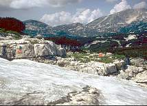
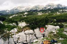
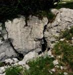
Entrance 91 on left, looking towards 93 and Schönberg 93 entrance area, with location of tag highlighted Closeup of entrance Photos © Andy Waddington 1990 (1) and © Olly Betts 1999 (2,3).
- Tag Location
- 1623.p93 47.68020N 13.80240E (UTM33 410114, 5281452), 1638m (SRTM is +60 m, distance from reference: 24m)