Surveys and Rigging Guides
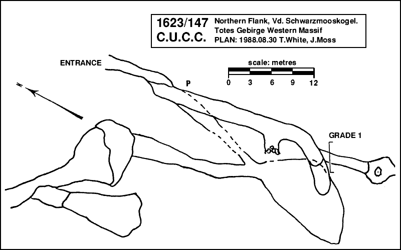
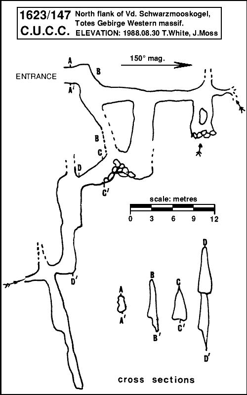
Elevation and plan, 1988, unpublished? Claims to be grade 5b, but comment in 1988 logbook suggests that compass may have been seriously deviated by use of a torch to illuminate it. Drawn up survey has only one scale bar, though clearly plan and elevation are not to the same scale. Surface survey to top of Vd. Schwarzmooskogel, 1994Re-explored and surveyed in 1988 and 1999 - see log-book write-up – but apparently never drawn up.


Underground Description
Horizontal walking entrance leads south to a descending passage and junction. Down to right is a shorter but smaller route to the lower cave, while ahead leads past a small choked passage on the right to the head of a pitch. Across the pitch a smaller passage continues to a blind pitch where a draught enters from the floor, and an even smaller continuing passage which ends too small, also draughting.Down the main pitch, in a rift, is 10m to a boulder pile in a chamber where the shorter route reenters, and a passage continues back north towards the entrance. South is a rift ending too tight. The main way soon leads to a pitch of 10m with a large ledge halfway. A short passage intersects a cross-rift before becoming too small (with a draught), but down the rift drops c15m to a choke at about -45m.
Explorers
CUCC 1988, 1984 (but a different cave?)References
1999 (re?)survey: 1999-08-01c, surface tagging 1999-08-07d Rediscovered: 1988-08-20c but no mention of how it was identified, 1988-08-24f and other logbook entries in 1988.Wallets: scanned survey notes
There are 1 wallets with data for this cave:1999#07