click for larger image
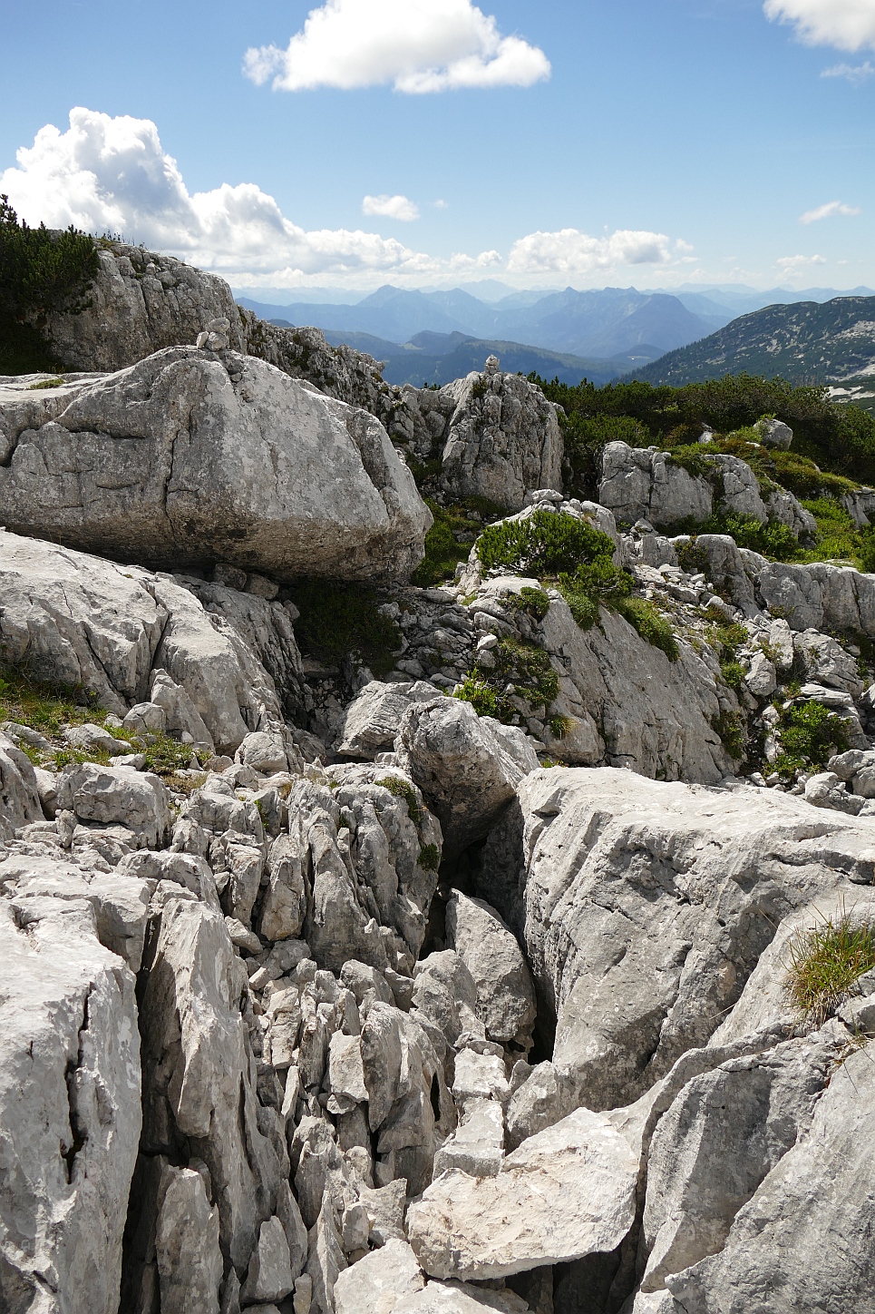
Much of the area of the Loser Augst-Eck plateau is rough limestone pavement (karren), liberally covered with dense areas of dwarf pine, and interspersed with small cliffs, open shafts and snow patches. The latter, in particular, can change the appearance of the plateau from year to year, and even from week to week in the summer.
Getting from one point to another may involve detours to avoid any of these obstacles, and the whole effect is very disorientating. There are few landmarks recognisable from a distance or from a variety of angles, and little chance to relate the ground to the 1:25000 Austrian Alpine Club map. If you are only 5m off the route you may have lost the way on.
So walking on the plateau is difficult, and in bad weather (as in July 2019) can be seriously dangerous if attempted unaccompanied. The route to the plateau is deceptively safe and easy by comparison.
Prospecting is either a matter of searching for promising-looking caves with a draught, or shaft bashing many open holes in the hope that one will go. This latter approach is often a waste of time, but just a few of them lead to really significant finds! Much of the exploration now is beyond the Steinbrücken bivvy in the area known as the far plateau
Shaft bashing:
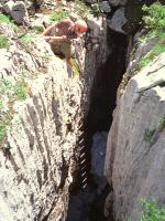
 Bolt placing:
(Typical shaft bashing, often easiest on ladders: Adam Cooper near Top Camp in 1993. Bolt placing usually easier on rope, but still in T-shirt & shorts!)

a bit of the plateau
All of this has made any systematic prospecting difficult, so there is still the chance of a significant discovery quite close to Top Camp or to other known caves. Life is made even more difficult through sloppy recording in previous years. Hence it is very important that any cave which has been looked at is marked and documented, to avoid duplication of effort. Very small caves are usually marked with a simple painted cross to indicate that they are worth no further effort, however, nowadays we are not allowed to mark things with paint. More significant caves get a metal tag, a number, and a written description. The aim is to link all such caves in to existing surface surveys, which in turn are tied to a number of fixed points located by laser theodolite/rangefinder from local trig. points.
GPS entrances
The cave index page contains as much description as we have of every cave we know about. To avoid any possibility of errors, this includes some info on caves not explored by CUCC, though for reasons of Austrian Kataster politics, these are not publicly accessible on the "live" web site.
We used to have a fancy clickable map showing the locations of all the caves we have information on with tables showing which pieces of information we have and what information still needs to be gathered. But the scanned map is now obsolete and the text table of all the caves is out of date because the QM data has not been updated and the cross-referencing URLs are mostly broken. To find current QMs (Question Marks, i.e. open leads) look at QMs and leads - very much a work in progress.
Today we really need a GPS-enabled map of entrances, and we have one! Instructions for downloading it are on the Essential GPS page.
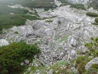
another bit of the plateau
The caves are numbered and tagged in a number of different ways. See the Expo Cave Numbering Guide.
The following information is out of date (from 2004). Do not rely on it being current.
In the tables (and the cave descriptions), bearings are quoted with a series of standard abbreviations for landmarks, which gives a good indication of which ones are most useful.
There is also a table of which numbers are CUCC ones and of numbers which appear on entrances which are wholly misleading, the Cock-Ups.
Note that there is still much missing information about many caves which appear in the "known" and "marked" lists. Though marked, this may not be correctly with their Austrian Kataster number. The aim is to mark all of these correctly with a metal tag bearing their 'official' number over the next few years. Also, many known caves do not have surface surveys to their entrances.