plateau - Surface walk from col to Geschwantalm
Philip S
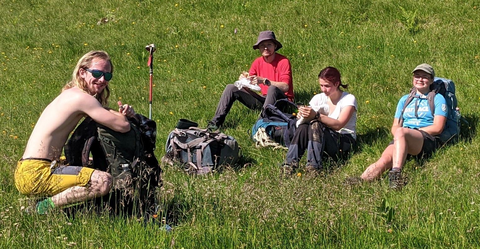
Got a paynefully early start up the hill with Charlotte and team, then she set a blistering pace for a payneful trog up to the col, arriving at 09:25, where I thankfully left the party and headed off leftwards behind the Braüning wall at a more reasonable pace.
My aim was to explore the possibilities of the Geschwandalm area as a potential forward base for bringing gear up to the plateau in case the new cable car system proves difficult, and longer term as a possible partial replacement for the Gasthof campsite when property values eventually force our squalid encampment further away from the gentile tourist areas.

There is no roadhead at Geschwandalm, but the meadow above it on the path just below the lip of the edge of the plateau would make a fine campsite. (We would need to bring our own electric fence though, the cows were friendly enough but one of them was very big and I wouldn't fancy getting stepped on while in my pit.) No flies to speak of and no horseflies.
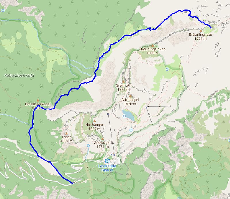
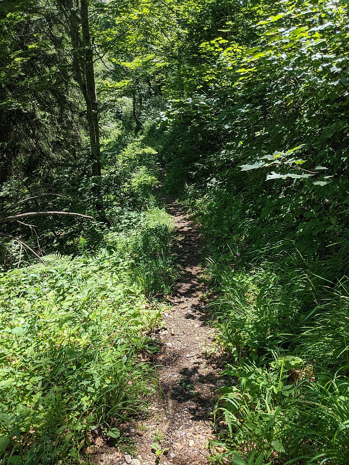
The path along the bottom of the Braüning wall is not well marked at all at the col end, but mostly is well cairned and the cuts through the pine scrub are well maintained. It could be a useful route for a stretcher party if that was needed in this area. I lost the path again around the Geschwandalm huts (alt. ~1540m) in the multitude of cow tracks but found it again at the stream just below the main grassy area.
The path from there [Geschwandalm ] to where it intersects the driveable track is narrow and not motorable (unless on a scrambler bike). It is an easy gradient and was a 50 minute easy amble to the track.
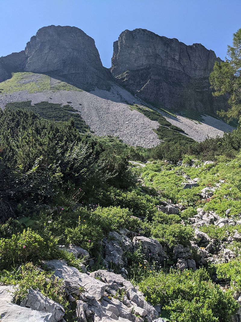
At the track there is a wider area a hundred metres or so away (southwards) which could be a gear trans-shipment area and campsite if necessary (alt. ~1380m). There is a busy stream (~ 0.5 litres a second) a couple of hundred metres away. It is clearly a forestry road (blocked by cut trunks in places) and we would need to talk to the forestry people. The track joins the ski-lift tracks below the Löser Hütte and then into the toll road. The other way along the track connects to Bla Alm (signposted, and confirmed by Mark Shinwell) so could be an alternative if we can't use the toll road.
Track online at /expofiles/gpslogs/2024/PhilipSargent/2024-07-21_geschwandalm.gpx.
ADDENDUM 26th July:
Bing aerial photos show the forestry track and much of the path from Geschwandalm, it shows that the track does not go to Bla Alm at all, but apparently ends only about 150m beyond where the path joins it.