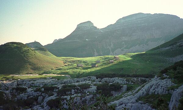
This is a view of the huts of Bräuning Alm seen from the most frequently used path approaching the Schwarzmoossattel and the plateau. The nearest sunlit patch of pasture, to the left of the photo, was the site of the 1977 high camp, situated here as the springs left of the huts were the nearest water supply we had then discovered to the plateau. A few caves nearby were explored, but most work was done by walking a further ten-fifteen minutes to reach the plateau.
More huts have been built since 2005, and the existing shepherds' huts now (2024) seem to be holiday accommodation.
Photo © Andy Waddington, 1993