1623 / 96 Bräu Schacht 96 3/S +

Surveys and Rigging Guides

grade 1 elevation: 13k gif

Underground Description

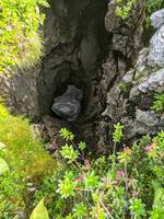
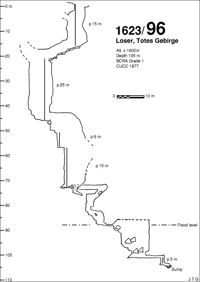
Open shaft of 15m leads to a descending rift. Next pitch of 25m, then a short climb, 6m pitch and 15m pitch into a chamber where the water sinks. The upper level of a small rift leads to an abandoned passage and a series of increasingly muddy freeclimbs to a final squeeze and 5m pitch into a sordid little sump.

Explorers

CUCC 1977 - Team Enthusiast.

Entrances

  1. Id letter: '' Edit this entrance
    Marking
    Tag
    Marking Comment
    Original 1976 number in red paint, refreshed in orange in 1990. Tag added 2005-07-28.
    Findability
    Coordinates
    Location
    In grassy pasture east of Bräuning Alm, next to CUCC's high-level camp of 1977 (camp 1). Relocated 2005, near part-built new shepherds' hut.
    Photo(s)

    1976 descent2005 photos (© Olly Betts)

    Tag Location
    1623.p96 47.67115N 13.79950E (UTM33 409881, 5280450), 1595m (SRTM is +36 m, distance from reference: 18m)

New Entrance

Survex File(s)

All survexfiles for this cave (if any)
Primary survex file for this cave
Download .3d file 1623-96.3d
cave survex path '1623/96/'