1623 / 208
(96-WK3)
Quallenhöhle 1/S +

Surveys and Rigging Guides

1999 survey

Grade 2 (at a guess), drawn up in loose leaves in front of 1996-9 NotKH book

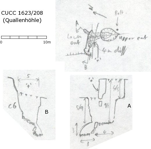
Underground Description

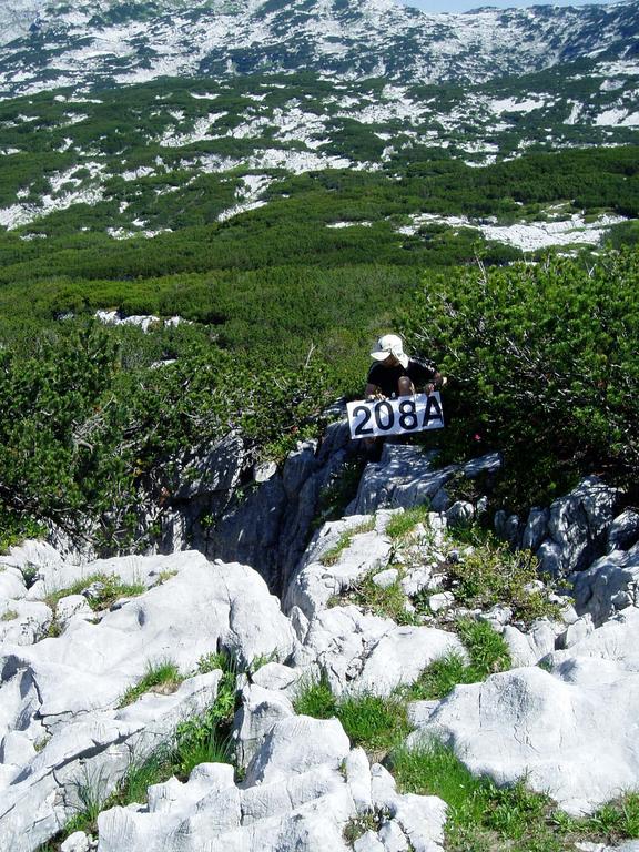
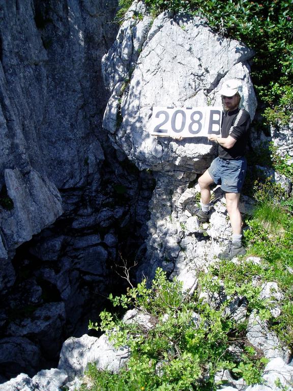
Two entrances, one 5m lower than the other. Lower section is expanded joint at foot of step, 6m deep. free-climable to gain a choked floor. A small continuation leads to small space in rifty corner where rocks have not filled. Upper entrance is 2-3m diameter shaft 5m deep, also free-climable.

Equipment

None, 8m handline would be useful.

Explorers

Notes

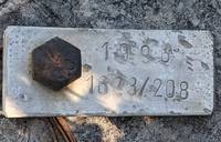
The name is essentially spurious, but makes a change from bears, wolves and rabbits ;-).
Kataster form sent 2000.05, number allocated.

Entrances

  1. Id letter: '' Edit this entrance
    Marking
    Tag
    Marking Comment
    "+" (on cliff between entrances). Tag spit by upper entrance.
    Findability
    Coordinates
    Location
    100m W of the waterhole at (upper) top camp. 65m N of 90. 16m N of 207.
    Approach
    From Top Camp (upper site) walk along "crapper" shelf, following path. After 80m where path goes down to next shelf, climb 3m step ahead. 208 is to the right (and 207 to the left). The lower entrance is accessible from below the step.

    Surface survey location sketch in not KH 1996 p 3, area map: NotKH book pp68-69

    Photo(s)

    Upper (A) entranceLower (B) entrance

    Photos © Dave Loeffler 2005

    Bearings
    B.Nase 161°, VSK (obvious point = Nipple ?) 104°, HSK (leftmost top) 054°, Schönberg 346°, Wildkogel (L&R ends of obvious summit ridge) 007-011°
    Other Station
    1623.p208 - from surface survey 47.6794174N 13.8037243E (UTM33 410212, 5281363), 1661m (SRTM is +47m, distance from reference: 26m)

New Entrance

Survex File(s)

All survexfiles for this cave (if any)
Primary survex file for this cave
Download .3d file 1623-208.3d
cave survex path '1623/208/'