Entrances
-
Id letter: ''
103
Edit this entrance
- Marking
- Tag
- Marking Comment
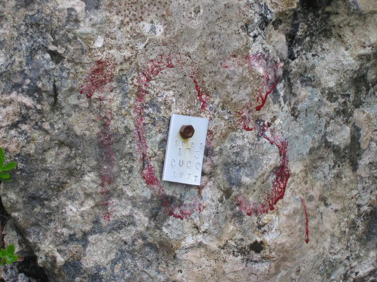
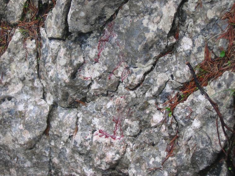
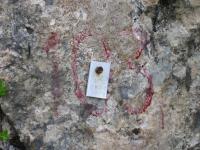
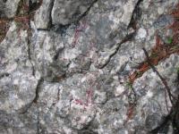
- Alloy tag "1623 103 CUCC 1977" on M6 stud below the faded remains of a painted number on the NW-facing wall of a prominent joint making a break in the scarp face in which the entrance lies.
- Findability
- Coordinates
- Location
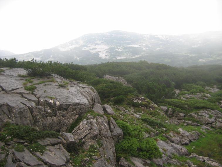
- About 15m north of Kat.102, in the face of the same 125-305° fault scarp as 101's northward crawl, which is about 35m away to the SE.
- Approach
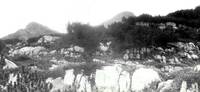
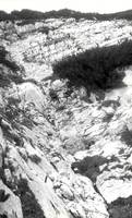
- General views of entrance area:
- Photo(s)
-

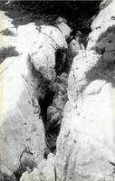
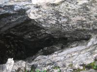
Entrance view, looking roughly NW towards the Rauher (I think) 103a entrance View down shaft Tag Remains of second painted number (Photos © Olly Betts 2006, Andy Waddington 1977)
- Tag Location
- 1623.t103 47.68409N 13.80664E (UTM33 410439, 5281879), 1629m (SRTM is +53 m, distance from reference: 20m)
- Bearings
- HSK 075°, VSK Nipple 153°, Lost Rucksack Cairn 325°