How to go about connecting Fishface to SMK system
by Radost Waszkiewicz (8 March 2023)
My goals
- When in Austria, work towards the goal of connecting Fishface to the SMK system more effectively.
- Make survey data more informative. Expand current connection approach beyond measuring straight line distance.
- Assess the efficacy of the
deep connection target for the upcoming expo. - Refresh my memory of Fishface system, Survex, QMs and survey wallets.
Analysis of the current situation
CUCC expoers often refer to horizontal levels and connections between them when talking about exploration in Austria and many have played around with Survex/Aven trying to align (by eye) different cave-rich levels to get a better understanding of what's going on. I tried to quantify this method using the avaliable svx data with a particular emphasis on the Fishface area.
I have imported all the survey legs in

Figure: Survey shot directions displayed using Lambert azimuthal equal-area projection. Dashed circles correspond to horizontal and vertical shots, while solid circle shows tilted cave-rich.
As expected, typical, non-vertical legs are roughly horizontal, but there is a systematic deviation from that horizontal pattern -- legs shot westward are more likely going down. The overrepresented directions line up on plane which, in this projection, is a near-circular loop. (Equations of great circles in this projections are surprisingly hard to find.) Additionally, I have marked normal direction to the plane of interest to make it easier to see how much and in what direction this plane is tilted.
The cave-rich plane is tilted down by 13.5° in the direction of 120° (roughly ESE). As a result, for each meter we travel in the approx eastward direction, we are expected to drop down by 24cm. With Fishface-SMK gap being at least 150m, this gives 35m elevation change.
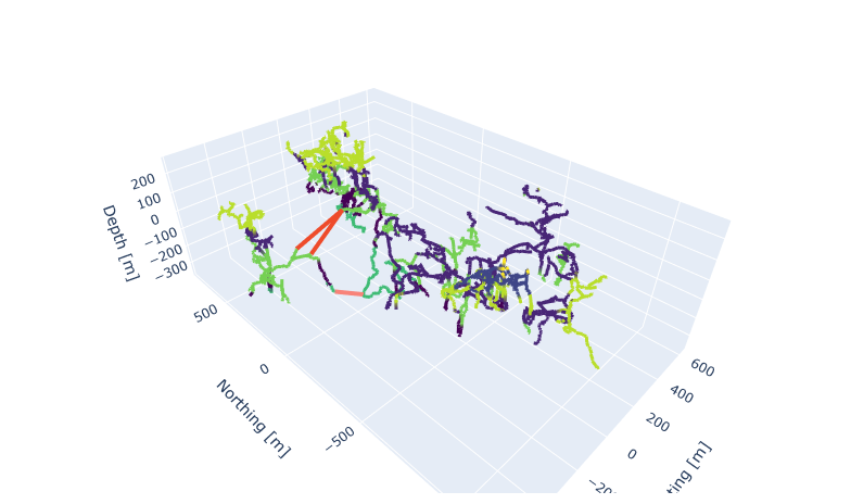
To see working 3D plot, visit the original copy of this page at www.fuw.edu.pl/~rwaszkiewicz/fishface/report.html
3D Figure: Fishface+Happy butterfly in relation to 204 and 161 colored by levels. Note vertical shift in the levels due to east-west gap (at 15° slope we get 30cm up per meter distance). The proposed connection strategies are marked in red and pink respectively. 'Shallow' connection strategy lines up with light-green cave-rich level.
'Shallow' connection strategy
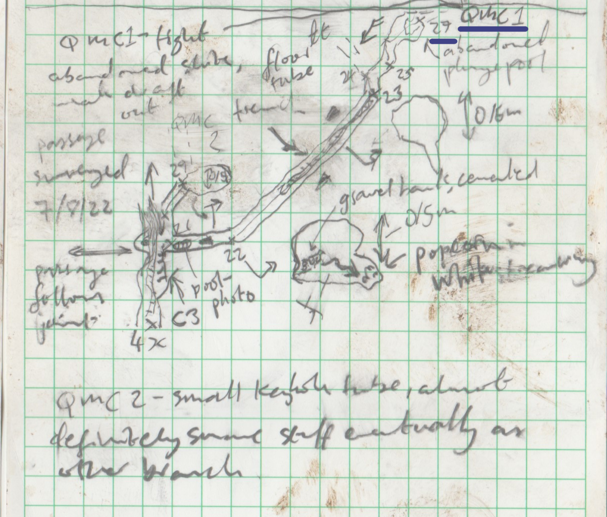
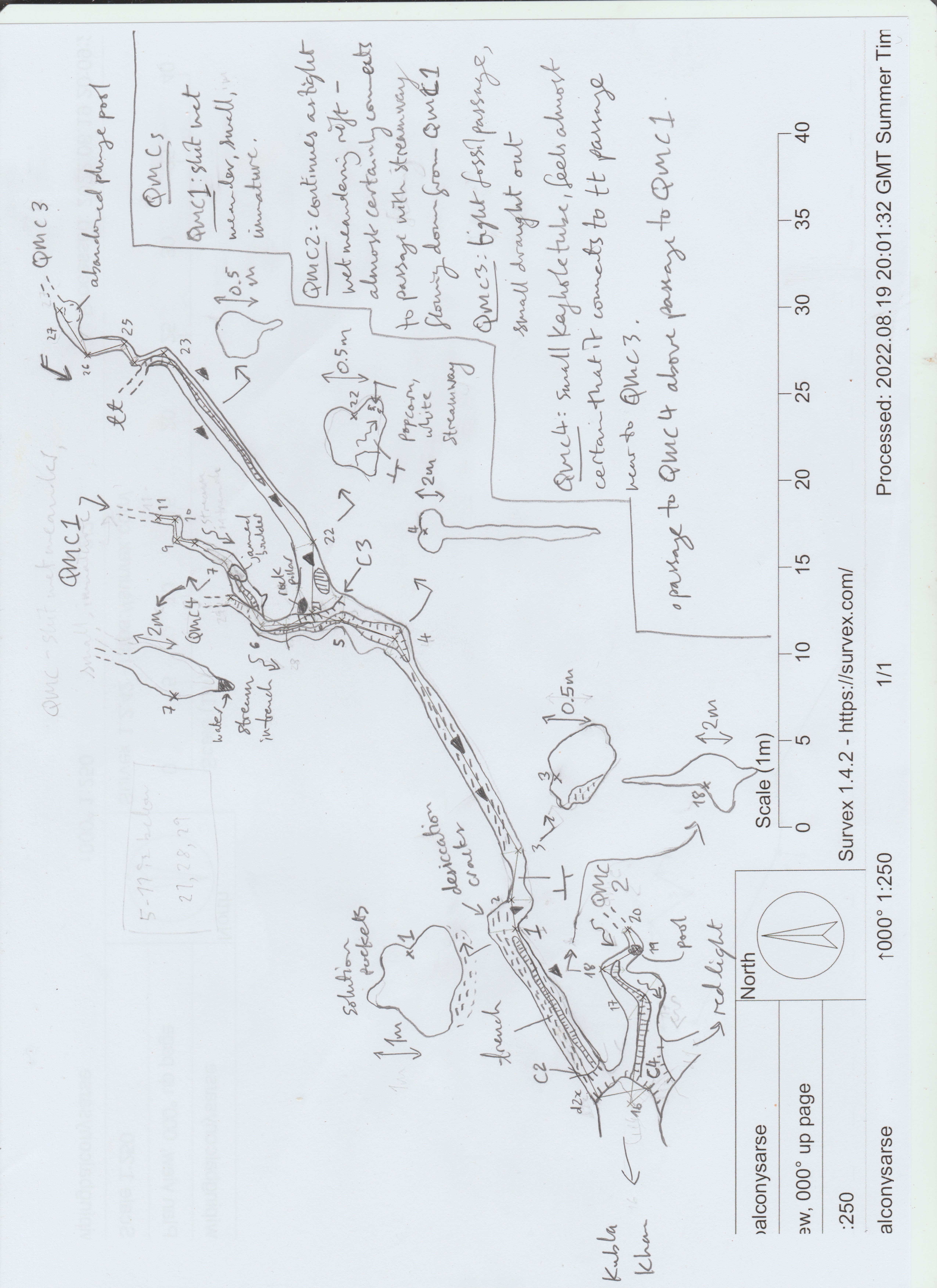
My proposed strategy is to continue from
After setting up the cave link and failing to send/recieve
anything we had a curry. Then Mike and I headed off to survey
Balcony's arse while Luke and the Jape fettled the Cave Link. Got very
muddy in the Arse only to break out at a junction, where we elected to
look at the meander rather than the small tube higher up. Left a QMC
pissing off upstream then back to camp for noodles. Schnapps and bed.
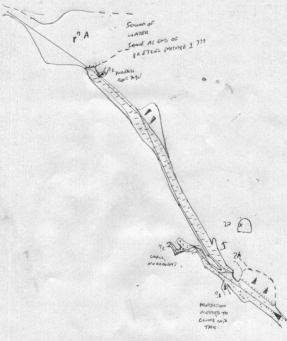
[...] but became too difficult to continue without a traverse
line but promising [phreas] visable 50m further along.
This led along an attractive thick cracked mud floor to ...
another large chamber with the sound of much water. We though this
might well be the same chamber we'd encountered on our initial survey
though when the data went in we were less convinced as the two ends
were 43m apart but it is still plausible.
Deep connection alternative
Greedily searching for two points in respective systems underground that
are closest together gives different potential connection endpoints with
Andreas rigged a traverse where the slot began to widen +
reached a stance overlooking a deep, dark pool of water.
Strategic considerations
The way I interpret CUCC expos mission, we should prioritize two things:
- itroducing new cavers to expeditioning,
- Expo long term sustainability.
Conclusions
- Cave-rich levels are real (duh!) and can be seen on shot direction histogram.
- Cave-rich planes are tilted in ESE direction by about 15°.
- We should aim higher in Balcony than in Fishface because of E-W distance.
- Mid-level balcony has a QMA+ in a favourable location.
- Deep Balcony is bottomed. We're unlikely to find another cave-rich plane containing current bottom.
- I'm strongly advocating for 'shallow' conneciton strategy over 'deep' connection strategy.