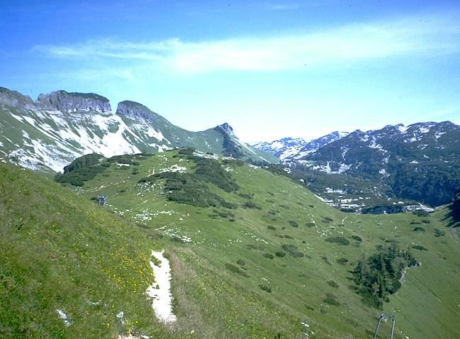
Path 201 on the walk in to the CUCC exploration areas. Stellerweghöhlensystem's sump (898m below the main entrance) is almost vertically below the grass slope with the shadows on the right of the photo. The approach to that cave lies on the main 201 path up that slope. The plateau approach goes over the grassy col and left to Bräuning Alm directly behind the grassy hill in the centre. It then climbs the wooded slopes to the right of this to the low col just right of centre.
The plateau is reached via the visible col (the Schwartzmoossättel) to the right of the Bräuning Nase, the small sharp peak in the centre of the skyline. The Schwartzmooskögel is the dark green pine-clad hill on the right.
Photo © Andy Atkinson, 1991