Expo - Calibrating Distos
Mon 24 Jul 2017
Brendan
Blog Author: Hall2501
Brendan
Surveying
Where better to learn surveying than on an expedition, this year I was pleasantly surprised to learn the expedition had upwards of 6 distos, provided by ULSA, Chris D, CHECC and UBBS. Unfortunately they all needed recalibrating, having had previous bad experiences with disto calibrations I was reluctant to take any responsibility for the task, however it seemed others had their priorities set on drinking beer and sorting rope, so I headed out into the woods with some marking tat and the topodroid app on my phone.
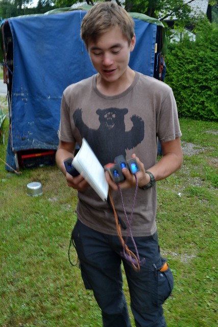
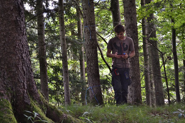
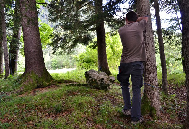
I created a disto calibrating environment by tying bits of blue tat on trees to mark the relative locations of the 14 calibration points, with a stone tied to a long piece of string hanging off a branch for the up and down points. I got to work taking the 56 shots required to calibrate each disto following some instructions I found on the pocket topo website. It took me over three hours to calibrate all the distos to within acceptable calibration tolerances, repeating calibrations for one or two of them.
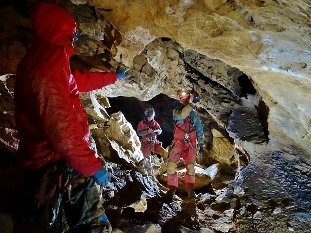
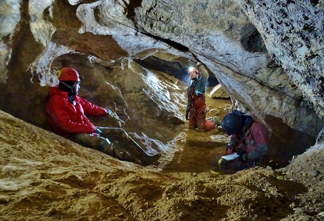
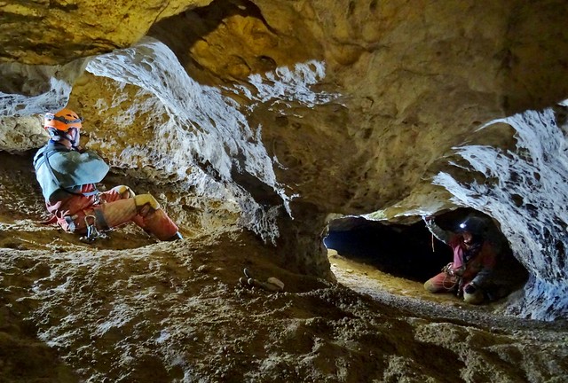
The distos are all up at top camp now ready to be used, apart from mine of course which remains in it?s glass display cabinet only to be used in case of emergency. The (totally not posed) photographs below show us honing our surveying skills by resurveying a section of Bat Country discovered last year.
Where better to learn surveying than on an expedition, this year I was pleasantly surprised to learn the expedition had upwards of 6 distos, provided by ULSA, Chris D, CHECC and UBBS. Unfortunately they all needed recalibrating, having had previous bad experiences with disto calibrations I was reluctant to take any responsibility for the task, however it seemed others had their priorities set on drinking beer and sorting rope, so I headed out into the woods with some marking tat and the topodroid app on my phone.
I created a disto calibrating environment by tying bits of blue tat on trees to mark the relative locations of the 14 calibration points, with a stone tied to a long piece of string hanging off a branch for the up and down points. I got to work taking the 56 shots required to calibrate each disto following some instructions I found on the pocket topo website. It took me over three hours to calibrate all the distos to within acceptable calibration tolerances, repeating calibrations for one or two of them.
The distos are all up at top camp now ready to be used, apart from mine of course which remains in it?s glass display cabinet only to be used in case of emergency. The (totally not posed) photographs below show us honing our surveying skills by resurveying a section of Bat Country discovered last year.