Entrances
-
Id letter: ''
294
Edit this entrance
- Marking
- Tag
- Findability
- Coordinates
- Approach
- Probably easiest to reach by walking to 204e and thence 204c, and traversing across. Can also be approached by bunde-bashing from 241.
- Photo(s)
-
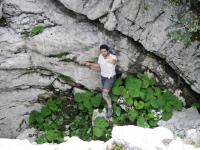

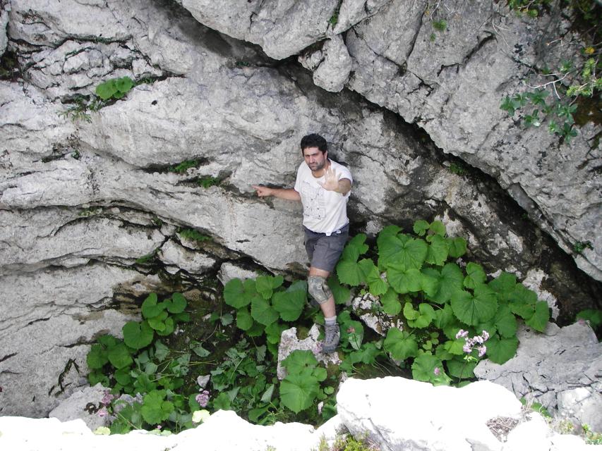
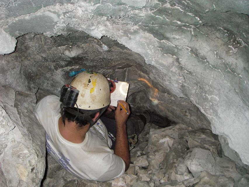
Entrance shakehole Phil at the terminal choke Photos © Matt Bent 2006
- Description
- Round shakehole with rhubarb-like vegetation.
- Tag Location
- 1623.p294 47.69271N 13.82170E (UTM33 411584, 5282820), 1861m (SRTM is +38 m, distance from reference: 17m)