1623 / 277 a–c
(2017-pw-01)
Schlechte Wettervorhersage

Surveys and Rigging Guides

Underground Description

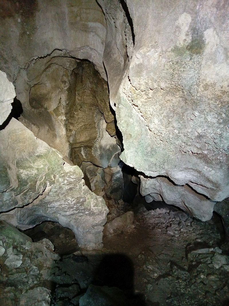
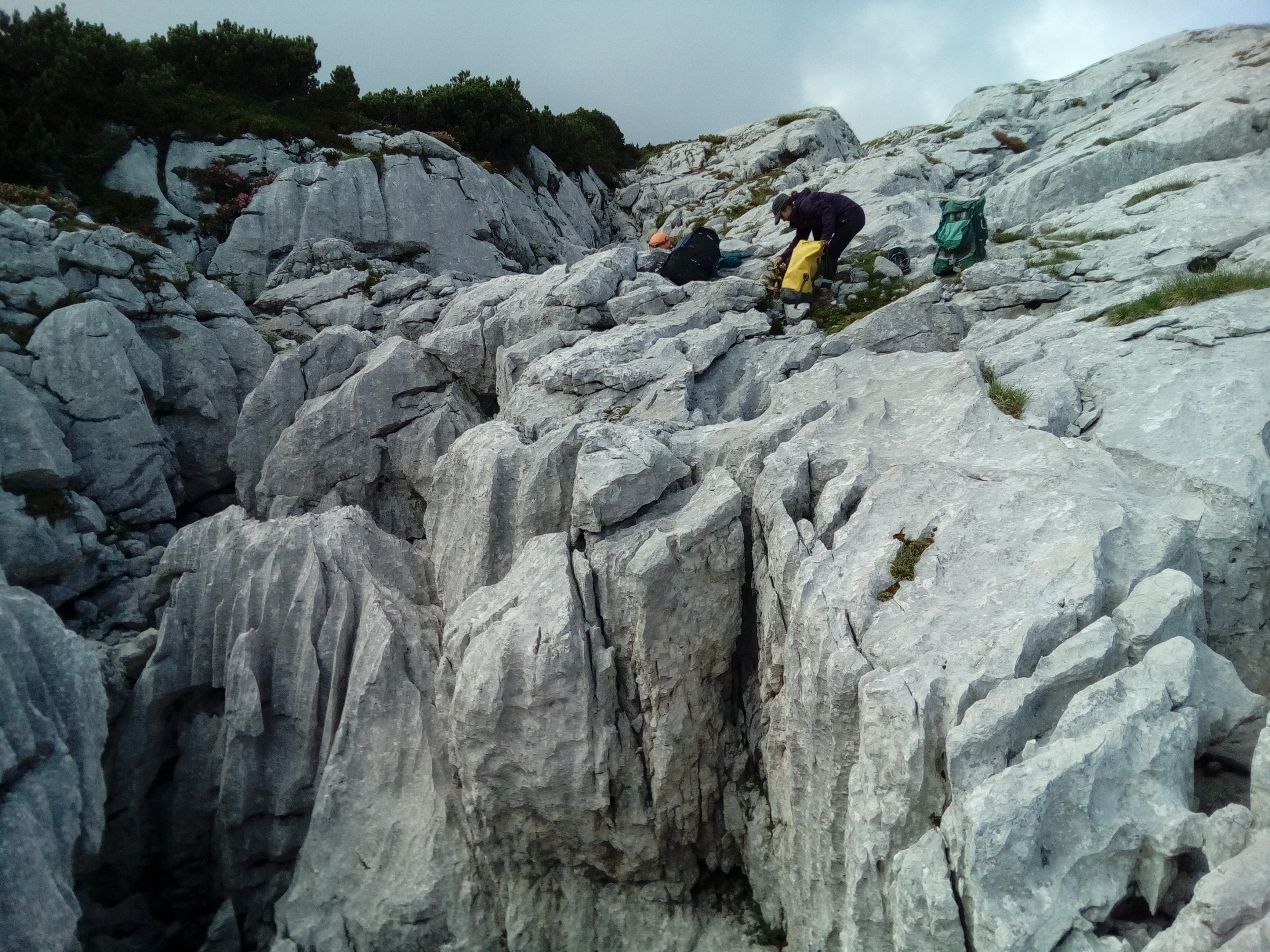
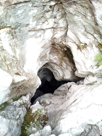
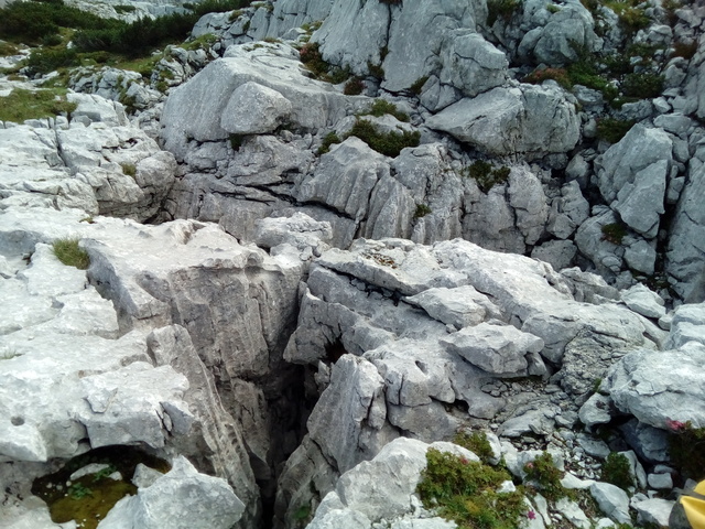
Three nearby entrances all connect and lead down a steep ramp to a 30m pitch then a 20m pitch into a larger chamber with no obvious continuation.
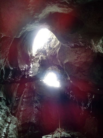
Explorers

CUCC, 2017

QMs

QM page for 1623-277

Wallets: scanned survey notes

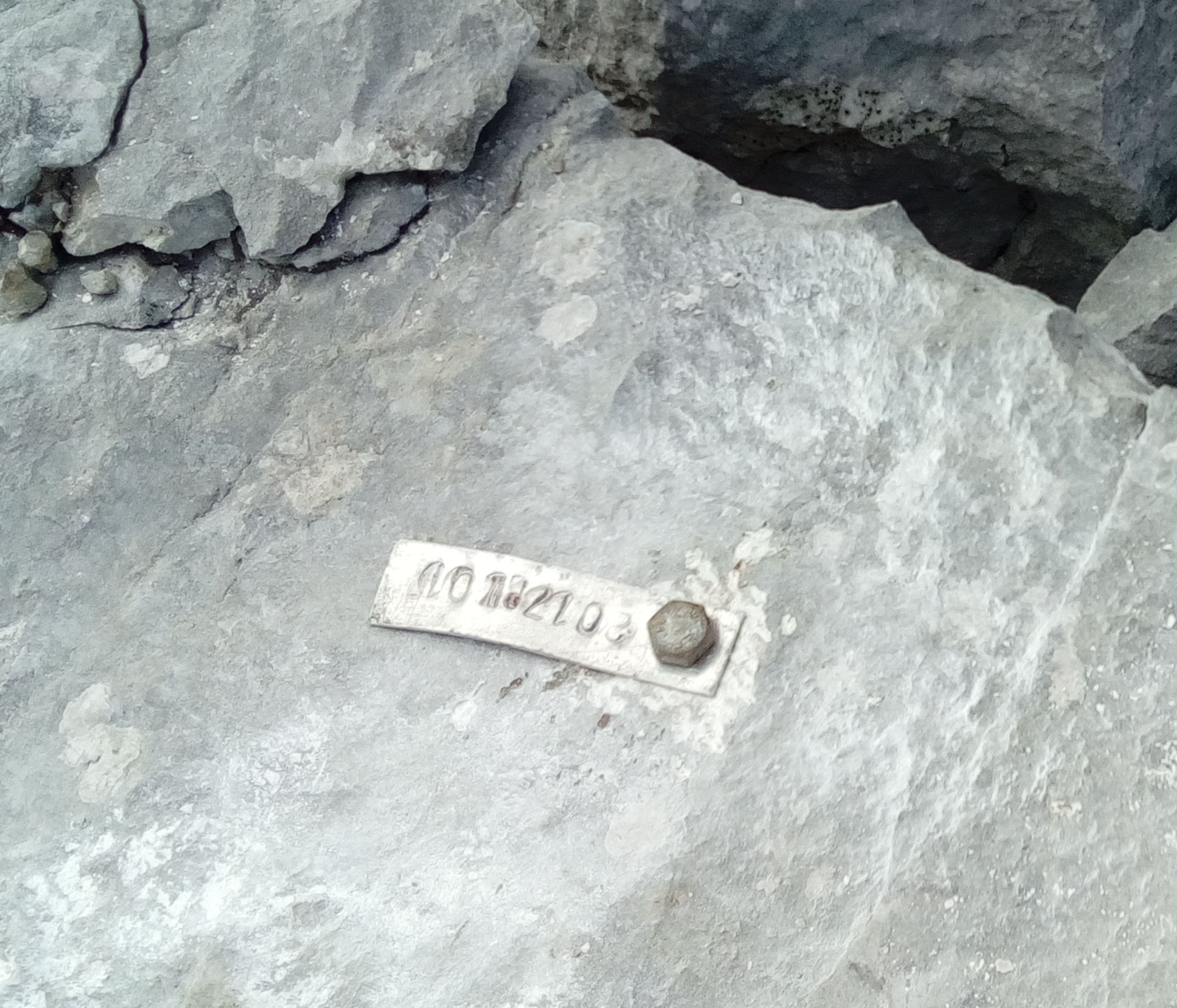
There are 4 wallets with data for this cave:
2017#11 2017#13 2017#14 2017#51

Notes

Orininal photos of higher quality in photos/2017/PhilWithnall/
       

Entrances

  1. Id letter: 'a' Edit this entrance
    Marking
    Tag
    Marking Comment
    Tagged "1623/277" in 2018
    (Replaces tag "2017-pw-01" placed in 2017)
    Findability
    Coordinates
    Location
    Head to Balkonhohle, but instead of descending the rope to the entrance ledge, continue up the slope until you reach a large plateau with a central valley and large flat depression. Head up the slope to the right of the large depression. 1623/277 is near the top of that slope, past numerous blind shafts.
    Underground
    The entrance series continues down a narrow phreatic passage (also at 45 degrees) with a loose boulder floor. This continues for about 20m until a junction with two avens (one wet, one dry) and another choked 45 degree downslope. The phreatic passage continues downwards from survey station 8, becoming a long tube ramping down at 45 degrees with numerous offshoots and small avens. It ends at a 30m pitch that descends into a large breakdown chamber. The chamber is divided in two by a boulder pile below the aven. A crawl from one chamber widens into a loose passage which then chokes. Gear tape was found here in 2017, which means a potential link through to 2011-01?
    Photo(s)
    Description
    Two entrances: one 8m pitch, and one 8m handline-able ramp. Both lead down to a sandy 45 degree slope, with another choked up entrance on the right hand side.
    Explorers
    CUCC 2017
    Other Station
    1623.p277a 47.7000228N 13.8271769E (UTM33 412007, 5283626), 1928m (SRTM is +43m, distance from reference: 26m)
  2. Id letter: 'b' Edit this entrance
    Marking
    Unknown
    Photo(s)
    Other Station
    1623.p277b 47.7000338N 13.8271505E (UTM33 412005, 5283627), 1925m (SRTM is +46m, distance from reference: 25m)
  3. Id letter: 'c' Edit this entrance
    Marking
    Unknown
    Other Station
    1623.p277c 47.6999803N 13.8271737E (UTM33 412007, 5283621), 1921m (SRTM is +50m, distance from reference: 24m)

New Entrance

Survex File(s)

All survexfiles for this cave (if any)
Primary survex file for this cave
Download .3d file 1623-277.3d
cave survex path '1623/277/'