Surveys and Rigging Guides

Underground Description
WARNING In heavy weather the main pitch becomes very dangerous, with cobbles being washed down, as well as water coming from everywhere, especially the rift.
Also known as Bullet Second Höhle
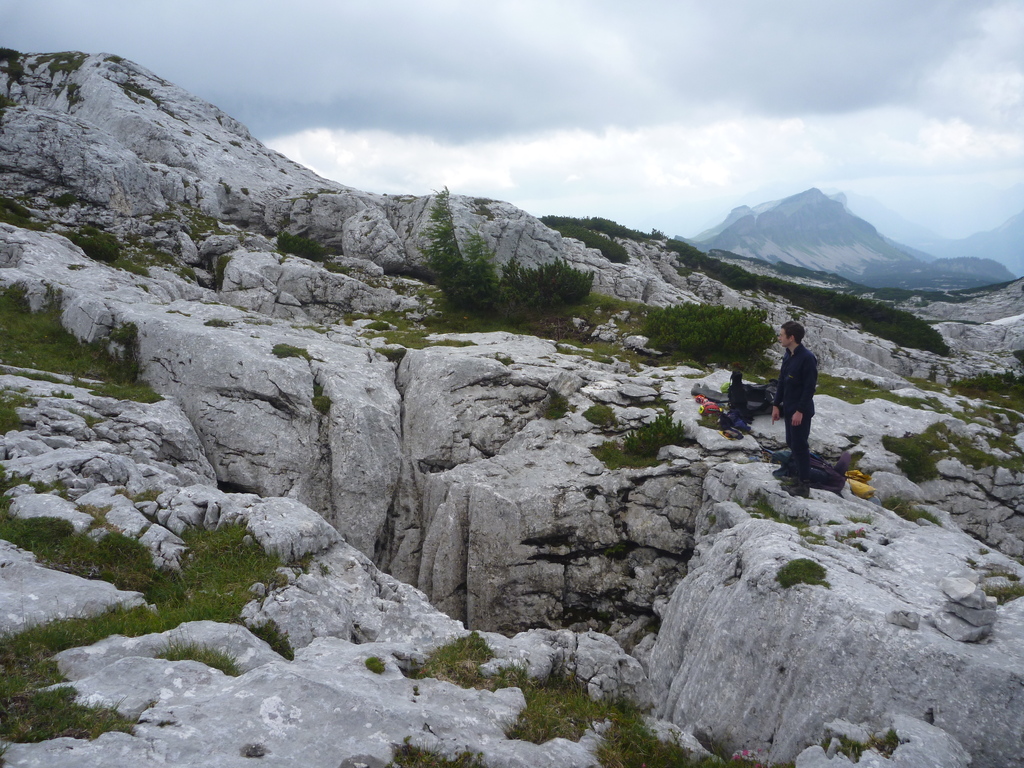
A series of three short vertical entrances arranged along a north-south line.
The southern most entrance contains a tight undescended hole in a boulder floor QM1C and a small passage though to the central entrance.
The central entrance is a steep gully leading to head of approx. 5m pitch to the upper chamber, which takes some water when raining.
The northern entrance leads to the top of a dry key hole passage, which initially has wedged boulders making a false floor. A short sloped phreatic passage leads back to the central entrance. A rope traverse can be rigged to a 5m pitch to the upper chamber.
A classic keyhole passage continues downward out of the chamber, which has been rigged along the left hand wall to the head of the main pitch. The main pitch descends rejoining the rift of the above mentioned keyhole passage before reaching a ledge 25m down. The ledge leads to a bridge across the pitch. This ledge can be used to rig a wide deviation, to avoid water from the main rift.
Shortly after the deviation the pitch is rebelayed to a free hanging rebelay before opening out into a large chamber, with the floor a further 35m below
The chamber has a bolder floor and is 30m long, 15m wide and about 20m tall. A passage continues from the top of the chamber near where the rope drops in. This passage continues upwards, with a moderately unstable boulder floor. A further small passage heads of the bottom of the chamber which could be a digging project. There may be a passage going of the far end of the chamber near the ceiling.
Equipment
It is estimated that 60m + 90m rope should do.Explorers
UBSS 1992, CUCC 2013References
UBSS Totes Gebirge Expedition 1992Wallets: scanned survey notes
There are 3 wallets with data for this cave:2013#07 2013#08 2013#09