Surveys and Rigging Guides
Notes in 2005#28
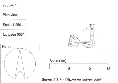
Underground Description
No description extant, but from the survey and underground photo, it seems that it slopes downwards for 16m, passing a right-angle bend to the right, before ending in a pebble choke.Explorers
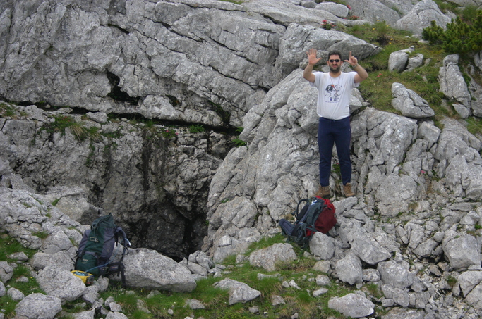
Entrance noted CUCC 2002 (Duncan). Refound + explored CUCC 2005 (Peter + Phil)References
Brief description and sketch in 2002#31; 2005 log book 2005-08-092005#28
Wallets: scanned survey notes
There are 1 wallets with data for this cave:2005#28