Surveys and Rigging Guides
(Notes in 2003#29)
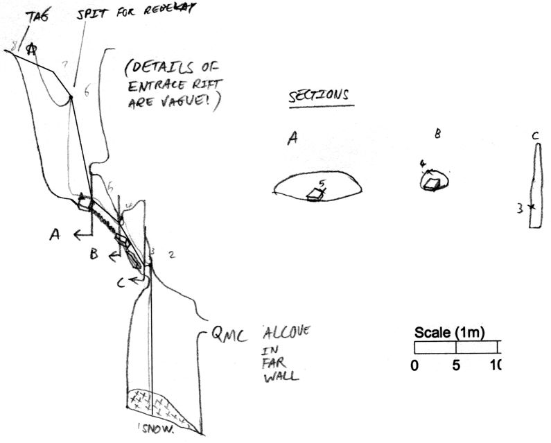
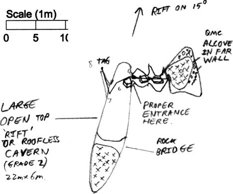
Underground Description
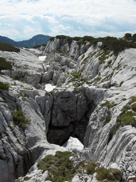
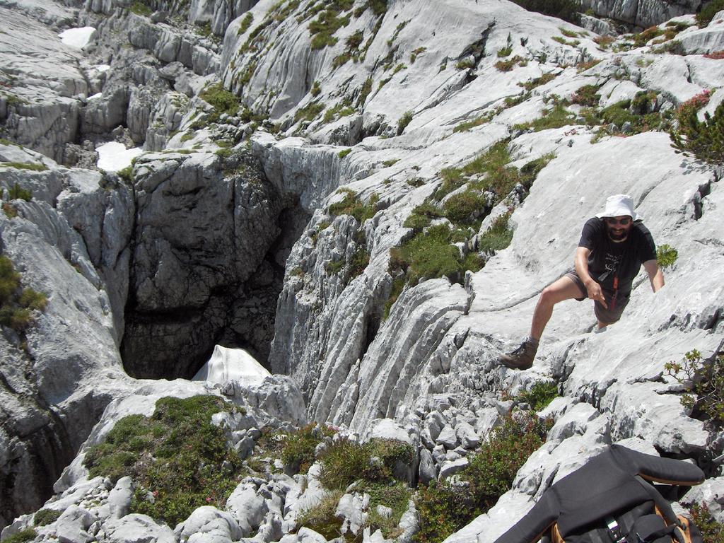
Entrance is a wide, open rift aligned roughly north-south, spanned by a rock bridge at the southern end. The cave proper starts with a boulder slope at the north-east corner of the rift, which briefly closes down before opening out into a high, narrow slot. Beyond thisis a pitch, the foot of which is blocked by snow.Equipment
Approx 75m rope; see elevation survey.Explorers
CUCC 2003 Earl M, Brian OWallets: scanned survey notes
There are 1 wallets with data for this cave:2003#29