1623 / 205
(1999-BO-01)
Nordalpenschacht 2/S +

Surveys and Rigging Guides

1996-9 NotKH book pages 76-77. There are two sets of surveys: larger-scale drawings of the main passages, and less detailed sketches including the horizontal Nordalpenhöhle entrance. These are all very bad scans, as the originals are on very thin paper, and can't easily be removed from the NotKH book without damaging them.

Underground Description

The main entrance is rigged off a spit and naturals and drops around 8m, via a natural deviation at a ledge, to a small chamber. A crawl leads off from here at head height for some distance, but closes off. The way on is to continue straight down through the floor of this chamber, through fairly solidly wedged boulders (quite tight) using the rope rigged on the entrance pitch. This lands at the head of a walking sized rift heading steeply down. There are two small passages in the wall where the rope comes down [these connect to the horizontal entrance of Nordalpenhöhle, see below]. Clamber down the rift. At the bottom is the snow plug from the second entrance. It is possible to cross the snow plug. At the far side, the passage closes down and is mud filled with no draught.

The way on is a flat-out crawl under the right wall, immediately before the snow plug. The crawl was dug because it was draughting out quite strongly. Once under the wall, the roof immediately rises to comfortable crawling height and the passage widens. After 5m, roomy phreatic passage is reached, around 5m wide and 3m high. A roof tube leads off to the right. It can also be reached by a roof crawl from further down the passage on the left. The tube leads to two small chambers and ends in a too-tight rift.

The floor of the main passage starts to drop away as the passage turns to the right, leaving a ledge along the left wall. A trickle of water enters at floor level. A pitch is rigged off the ledge using spits in the left wall. This pitch drops 10m and ends in a choked chamber. An exposed traverse on the left, beyond the pitch head, leads to a choked tube. Directly across from the pitch head, a further roof tube also chokes.

The third horizontal entrance begins with a flat out crawl in sticky mud, and reaches a small, low chamber. The low passage continues as hands and knees crawling. This passes a window on the left which looks into the snow-filled shaft (the second entrance). Straight ahead and a little further, an eyehole looks into the chamber which the first entrance pitch lands in. Continuing on, straddling over a rock ridge leads to two further eyeholes which look into the sloping rift passage where the rope ends from the first entrance pitch.

Explorers

CUCC 1999

Entrances

  1. Id letter: '' Edit this entrance
    Marking
    Needs Retag
    Marking Comment
    tag at main entrance "CUCC 1999-01"
    Findability
    Coordinates
    Location
    (tagged point might be the start of underground survey, main entrance, ~2m from tag)
    Photo(s)

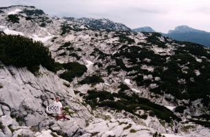
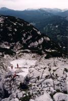
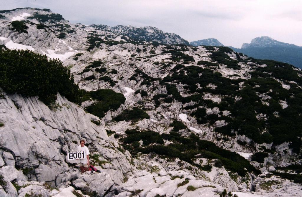
    Photos © Olly Betts 2000. Model: Martin Green.
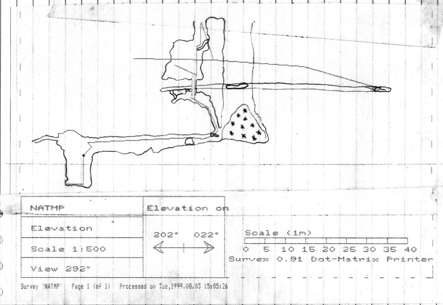
    Description
    The main (first) entrance is a 2m x 0.5m shaft around 5m higher and 7m away from a larger, snow-plugged shaft (the second entrance), which in turn is just above a snow field, a little higher than the Eishöhle path. Both entrances lie on an obvious fault line which heads uphill for around 100m. If the fault line is followed up to just past a squeeze through bunde, you can turn left for around 100m to reach the entrance to 1623/136, Steinschlagschacht.

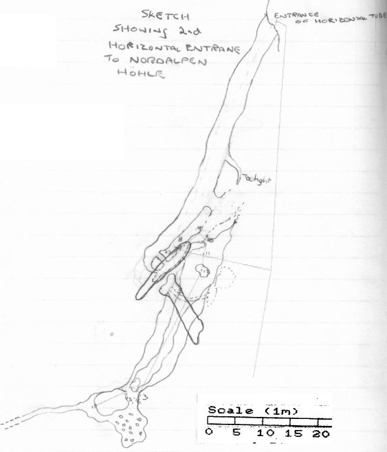
    A third, horizontal entrance is found by heading down to the snow filled shaft (the second entrance) and traversing left beneath a small cliff for around 20m. This leads to a low, unobvious hole at foot height, noticed because it was draughting out quite strongly. There is a surface survey to this third entrance from the first entrance.

    Tag Location
    1623.p205tag 47.67886N 13.81819E (UTM33 411297, 5281284), 1766m (SRTM is +37 m, distance from reference: 14m)
    Other Station
    1623.gps00.205 - post selective availability GPS 47.6787252N 13.8181858E (UTM33 411297, 5281270), 2000m (SRTM is -198m, distance from reference: 16m)

New Entrance

Survex File(s)

All survexfiles for this cave (if any)
Primary survex file for this cave
Download .3d file 1623-205.3d
cave survex path '1623/205/'