1623 / 2024-JC-01 Exploding Boulder Schacht ST-

Surveys and Rigging Guides
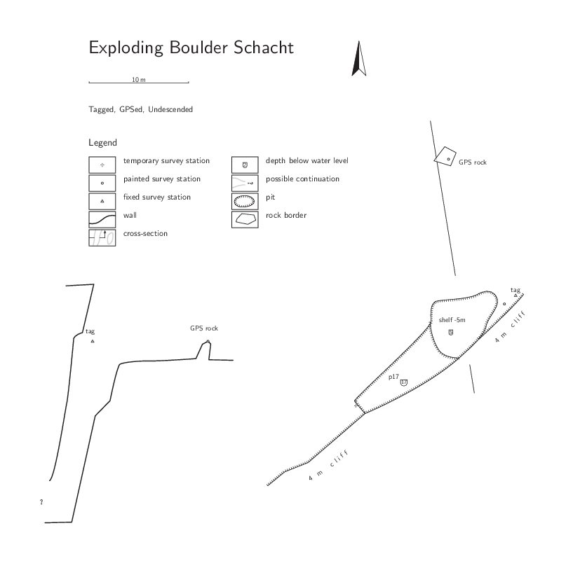

Drawn-up Plan and section

Underground Description

Not yet descended

References

2024#15

Wallets: scanned survey notes

There are 1 wallets with data for this cave:
2024#15

Notes

;GPS point GPSed for 35mins (but track contained no data for this
; period probably due to filtering, so start and stop locations (which matched nicel used)

;Stations:
;1 Convenient point that can see down cave, and the tag and GPS boulder. Nail Polish marked.
;2 tag. At LH end of entrance oval
;3 Far wall somewhere down cave. Not marked.
;4 GPS point.  Boulder about 9m away from entrance tag. Nail polish marked.
Entrances

  1. Id letter: '' Edit this entrance
    Marking
    Tag
    Marking Comment
    2024JC01
    Findability
    Coordinates
    Date last visited
    2024-07-25
    Approach
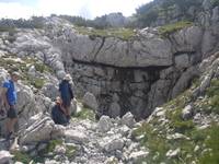
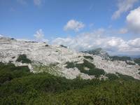
    Entrance in local bowl ~10m x 15m. So not visible until pretty close. Quite a lot of Bunde downslope to NW.
    Underground
    Rift at least 17m deep, undescended.
    Photo(s)

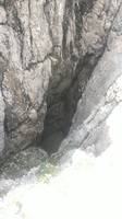
    Entrance


    Entrance area (bowl), looking approx SE


    View from cave
    Description
    Hading entrance 2m x 12m at foot of 4m cliff, developed on joint. Tag is at LH end of hole (looking at cliff)
    Explorers
    CUCC
    Tag Location
    1623.2024-jc-01.2 47.70124N 13.82844E (UTM33 412104, 5283761), 1985m (SRTM is -12 m, distance from reference: 17m)
    Other Station
    1623.gps2024-jc-01 - Name comes from large boulder that would have been a useful survey station, between tag and GPS point but a small push caused it to slide into the shaft and explode. 47.7013084N 13.8284067E (UTM33 412102, 5283768), 1984m (SRTM is -11m, distance from reference: 16m)

New Entrance

Survex File(s)

All survexfiles for this cave (if any)
Primary survex file for this cave
Download .3d file 1623-2024-JC-01.3d
cave survex path '1623/2024-JC-01/'