1623 / 156 Schwa Schacht 156 1/S +

Surveys and Rigging Guides

Map+survey

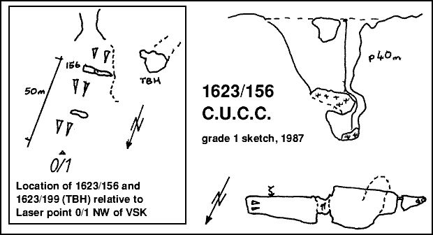
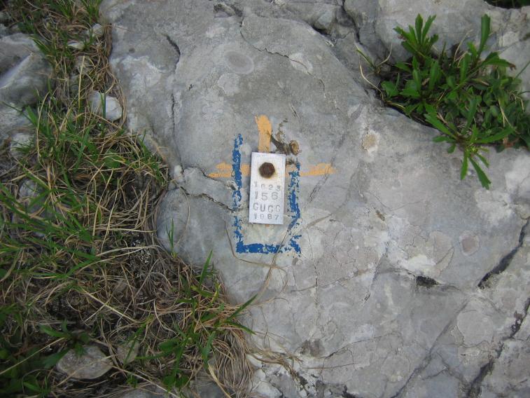
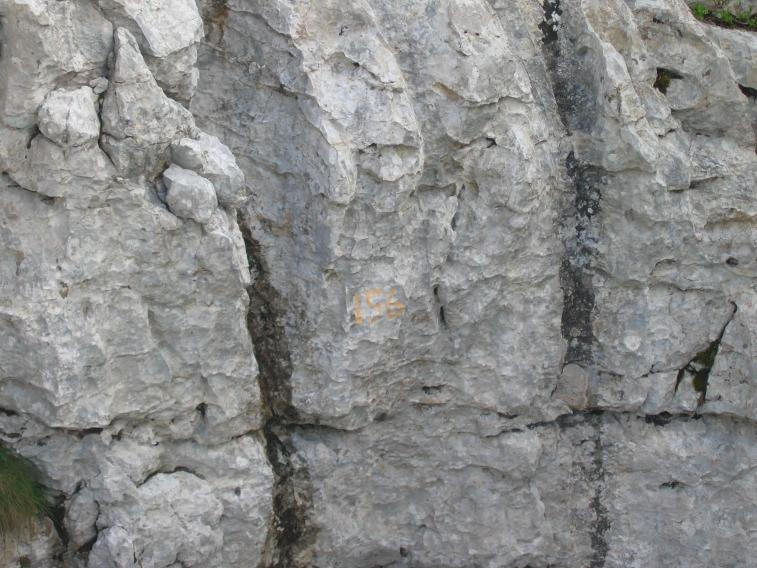
Grade 1 plan/elev of 156 and T.B.H. from 1987 Log Book

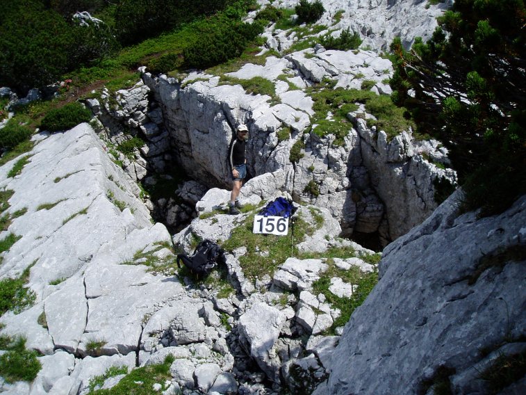
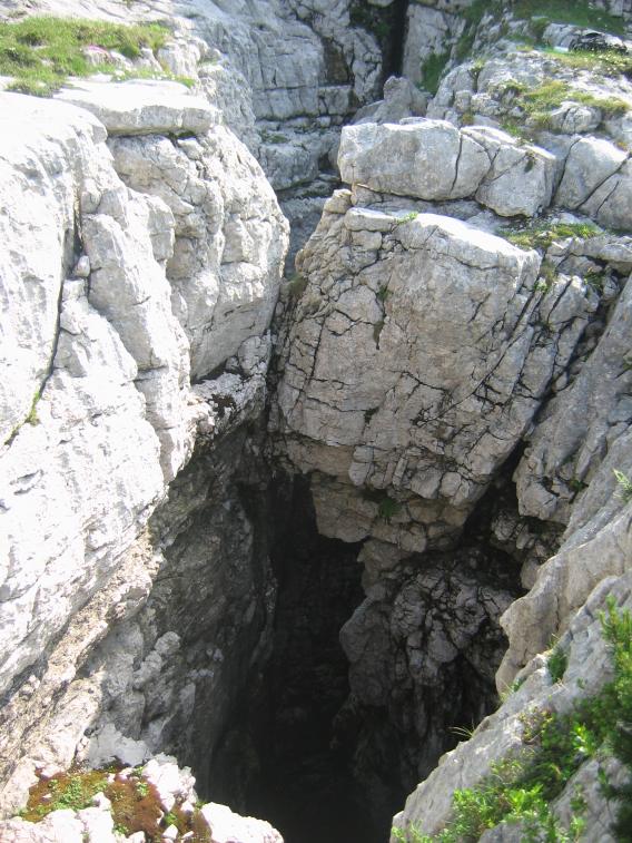
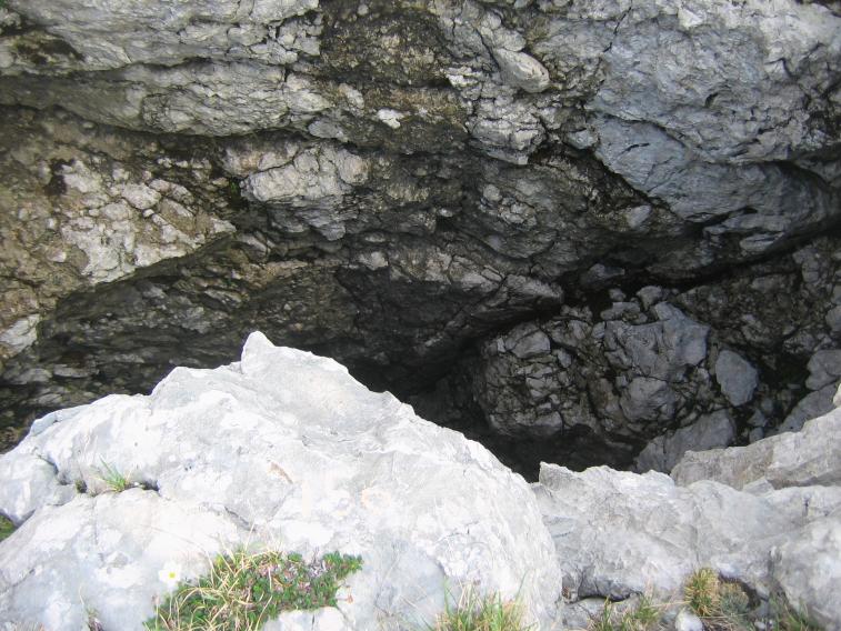
Underground Description

An open rift with a rock bridge. Pitch of 25m drops onto snow bank, and route to southeast of this drops a further 15m to a complete choke with snow.

Explorers

CUCC 1987

Notes

The log book refers to exploration in the vicinity of 0/1 including 156 and a nearby cave (unnumbered in 1987) Tumbling Boulder Hole. There is, however, another piece of paper which says it is very near (and NE of) point 0/2. This appears to arise from the diagram which accompanies the log book entry, which shows 0/2 with no north arrow, and uphill up the page. If the point was really 0/1 on this diagram, then the descriptions would match, with north at 7 O'Clock on the diagram. The logbook suggests that the discoverers had visited 0/2 (and found very little nearby) and then 0/1 later, finding 156. GPS location and later a surface survey (1998) confirms that 0/1 is the correct laser point.

Entrances

  1. Id letter: '' Edit this entrance
    Marking
    Tag
    Marking Comment
    "1623 156 CUCC 1987" on alloy tag on west side of more southerly opening, more-or-less directly above the first rigging bolt
    Findability
    Coordinates
    Location
    Vorderer Schwarzmooskogel, 50m south of laser rangefound point 0/1. The recently (1998) cairned route up the Vd. Schwarzmooskogel NW flank passes very close to the laser point, and skirts the NE end of the open rift of 156. Surface survey connecting Tag and original survey (to top rigging bolt) done in 1999.
    Photo(s)

    Entrance areaMain shaftLooking down shaft
    View north towards the SchönbergTagOld paint marker

    Photos © Dave Loeffler 2005 (1) and © Olly Betts 2006 (2-6)

    Tag Location
    1623.t156 47.67827N 13.81321E (UTM33 410922, 5281225), 1794m (SRTM is +40 m, distance from reference: 16m)
    Other Station
    1623.p156 - random point or top rigging bolt 47.6782717N 13.8132241E (UTM33 410923, 5281225), 1794m (SRTM is +40m, distance from reference: 16m)

New Entrance

Survex File(s)

All survexfiles for this cave (if any)