1623 / 186 Rosenkavalierhöhle 2/S +

Surveys and Rigging Guides

Sketch survey (9k PNG)

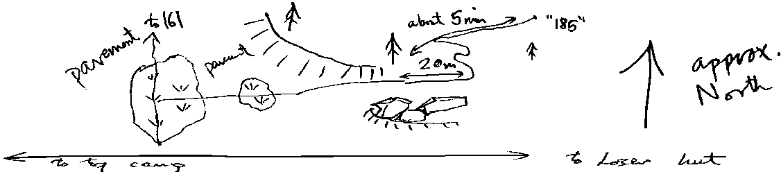
sketch survey by William Stead from 1990 logbook

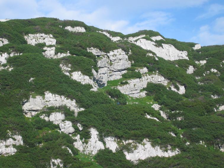
Underground Description

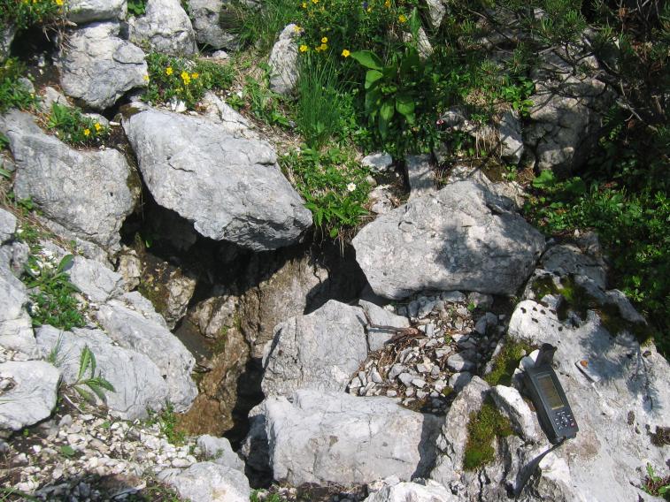
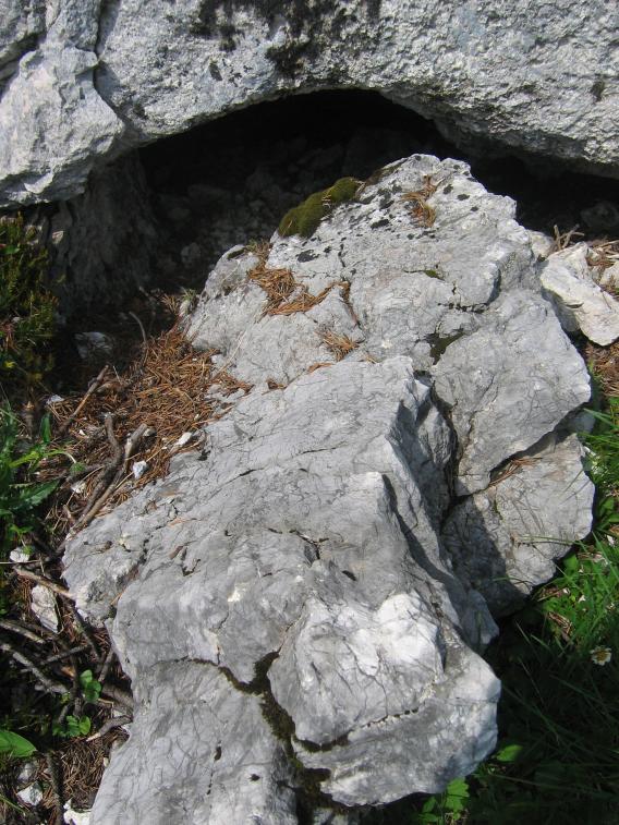
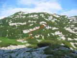
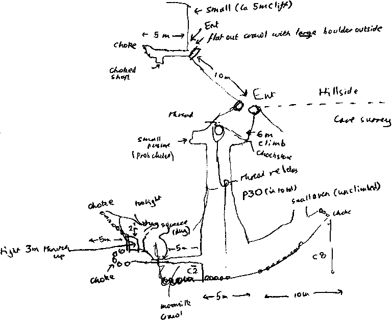
Cairn built by entrances. There are three entrances investigated:

Highest is really tight flat out crawl leading to a tightish but passable rift, draughting. Abandoned in favour of a newly collapsed small hole 10m below, at the foot of a small (5m) cliff. This had a very big rock blocking the entrance and rewarded the huge effort required to move it with nearly 5m of passage to a choke and a choked shaft.

10m further down still is the third entrance. A 6m climb down to a large ramp and a rebelay is the start of a 30m pitch. One way at the bottom is an 8m boulder slope climb up to a choke and small aven. The other way is a 2m climb into moonmilk crawl and some tight thrutching and chokes. All thoroughly investigated and not going anywhere.

Explorers

CUCC 1990

Entrances

  1. Id letter: '' Edit this entrance
    Marking
    Tag
    Marking Comment
    This was numbered 185 at the entrance, but this was fixed in 1997, and a metal tag "CUCC 186" bolted on.
    Findability
    Coordinates
    Location
    Near Schwarzmooskogel just before top camp, 50m higher than path and on opposite hillside, where path by Bräuning Nase meets fault running up the mountain.

    1994 log shows location (note that the arrow labelled "approx north" is very approx, as it is actually roughly east):

    Sketch map (5k PNG)

    Following the route depicted, if you reach a sandy depression, you have gone too far.

    Photo(s)

    Lower entranceUpper entrance
    Approach routeView of lower Kratzer valley
    and Bräuning Alm area

    Photos © Olly Betts 2006

    Bearings
    (1994 bearings Bräuning Zinken 284.5°, Loser 235°)
    Other Station
    1623.p186 47.6769958N 13.8089126E (UTM33 410598, 5281088), 1701m (SRTM is +48m, distance from reference: 19m)

New Entrance

Survex File(s)

All survexfiles for this cave (if any)