Surveys and Rigging Guides
? grade 5
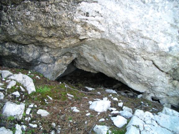
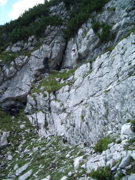
Underground Description
Rather than adopting the usual approach of describing every side passage in the main description, which makes the
'normal' descent route hard to follow, this description describes each main route down the cave first, mentioning side passages only where
necessary to make the correct main route clear. Various side passages and connecting routes are described subsequently, area by area. The
directions left and right are always relative to travel in the direction of the description, compass directions are given where there is any
ambiguity. Most passages are described going 'into the cave', on the assumption that this is how they will be first met. Some passages are
described in both directions, either because it is difficult to follow them without getting into side leads, or because they form important
links between different parts of the system, and may be traversed either way on various round trips.
The clickable index has
developed into a glossary, which it is hoped will make it easier to find bits of the cave by name - be warned,
this became so big that it was decided to split it up and it is now a framed page.
There are also virtual
tours, containing thumbnails of all the pictures of the caves. Although these pages are kept small, all the photos mean that they can
require a lot of memory to load. The original comprehensive tour has been split into two, for the Right Hand
Route, and for passages most conveniently reached from the Scarface entrance. Two new tours have been created for
the Lost World and Wheelchair Access, and for the new way into the Forbidden Land via Steinschlagschacht. Each thumbnail on these tours links to a full-size version of the picture, and each full-size picture
has links into the appropriate bit of the description.
Exploration
Throughout the guide, the date of exploration is noted for
each area. There is a history page which can be used as a clickable index into the logbook write ups of all the 161
trips, so it should be easy to follow the exploration of any part of the cave. Warning, this was also getting too big and is now
framed.
Overview
The upper part of the system can be best thought of as a number of separate areas, each with its own vertical
development. The more recently found extensive horizontal development, being easier to traverse, is generally better connected. Although there
are various links between the vertical routes, a given destination will tend to have one 'obvious' approach. These areas are France, the Left Hand Routes, the Right Hand Routes, the southernmost part of
the system reached via Steinschlagschacht, routes from Scarface
entrance. So rapidly has exploration proceeded from Triassic Park that now more than half the total length is most conveniently reached via
161d.
The key to all the deepest and most remote parts of the system is the huge collapse chamber of Knossos. This was reached from the
161a entrance via the Right Hand Route, and now via the 161d "Scarface" entrance through Triassic Park. This provides a much easier route in, making trips to the further reaches less strenuous. From
Knossos, horizontal trunk passage leads north, giving access first to a series of deep vertical systems, and further
on to complex areas of rifts and old passages. A significant horizontal route leading northwest, Siberia, has
only been pushed as a result of the new entrance, but has yielded a new deep point to the cave. There appear to be deep vertical leads in the
far north, too, though they have mostly been avoided by a series of "mental" tyroleans and bolt traverses.
Tourist trips
It is
still probably some way off the time when one might choose a tourist trip on the basis of its "classic" quality. Mostly, choices available
depend on what is rigged this year for exploratory purposes. This will usually only include one main route into an area, so trips like a Left
Hand Route / Garden Party or Drunk & Stupid exchange will not be easy. Similarly, the original classic Right Hand Route / Dreamtime
exchange was only really possible during the exploration of the latter, before the Squeeze was bypassed and this modified RHR became the trade
route.
However, now that Knossos is accessible from the Scarface entrance, this has opened up the
possibilities for a whole raft of pull-through trips with a minimum of pre-rigging. The one fly in the ointment is the relative difficulty of
surface travel between the 161d and upper entrances. The route used in 1996 seems to be good enough to have become a trade route, and after one
benightment through loss of the route in 1997, it has been very well marked with cairns.
Already possible is the 161c to 161d through
trip via France. In the future, pull-throughs of LHR, Garden Party or Drunk and Stupid should all be possible via Ambidextrous. Right Hand
Route or Dreamtime give access to Knossos. Care must be taken, however, not to try rapelling down any of the plethora of routes which
don't connect into the Knossos area.
As in the more famous Dent du Crolles system, route-finding errors on
bridge-burning trips could entail a long wait for someone to figure out where you went!
Structure
Line
plots of the cave give some idea of it's shape, extent and structure.
The main entrance at 1787m drops to a major sub-horizontal
level at 1720-1750m, containing the large passages of Big Sainsbury's and its continuation into the upper part
of Dreamtime, and the smaller passages of the Rabbit Warren and the French
entrances 161b and 161c. From this level a number of vertical routes drop to
another significant sub-horizontal level dipping from around 1700m in the SW of the system (upper part of France) to around 1600m where this
level is lost in the roof of Knossos. [This is probably debatable, as Boulder Alley from Poxy Pitch downwards
is probably in a fault rift].
Multiple, predominantly vertical, routes drop to the cave's most important sub-horizontal passages around
1540m in the area below the entrance dipping to c1510m in Tower Blocks and the start of YAPATE. This is a major fossil passage rising up the dip to the NNE, and continuing as Chicken Flied Nice to c1540m where complexity increases. The major horizontal development in France is entered at
c1550m, with the lowest passages down to 1480m. The major trunk route through Triassic Park is between 1560 and 1620m, and this level is also
lost in what is presumed to be the roof of Knossos.
Whilst none of the routes below the entrance area get below about 1480m, there are a
series of interconnecting shafts dropping below YAPATE and Chicken Flied Nice ending at or just above 1290m in sumps or tightness. The original
deepest point, at the bottom of Flapjack, is at 1289m, 498m below the main entrance. Passages to the northwest led through a bitterly cold,
draughty passage known as Siberia, which was left well alone until access via 161d made it easier. It was
pushed in 1997 and 1998 down two very large pitches to a new deep point 534m below the 136 entrance at 1258m altitude.
There is just one
section of horizontal level at c1400m, which is not very extensive to date, and similarly a tantalising glimpse
of what appears to have been very large trunk passage below 1300m in Siberia, but this is comprehensively choked in both directions.
This
overview is currently mostly updated to reflect exploration to 1995, though the line plots are up to 1996.
Explorers
CUCC 1988-98dd
QMs
QM page for 1623-161
Wallets: scanned survey notes
There are
41 wallets with data for this cave:
1999#08
2000#11
2000#12
2003#19
2004#45
2009#07
2009#10
2009#14
2009#15
2009#16
2009#31
2009#32
2009#33
2009#34
2009#38
2011#11
2011#24
2011#28
2011#29
2011#30
2011#33
2011#34
2011#38
2011#39
2011#41
2011#44
2011#45
2011#46
2011#47
2011#48
2012#16
2012#24
2012#30
2012#33
2012#34
2012#36
2012#38
2015#03
2015#18
2015#36
2015#50